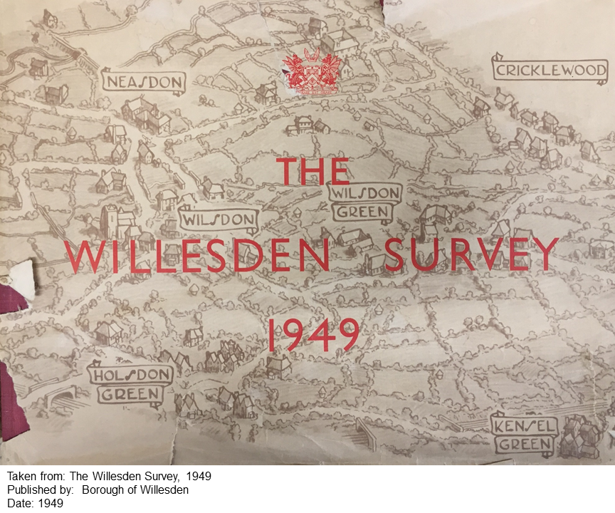
I have a confession to make. I am in love with a 1940s planning document.
There are plenty of suitors to choose from, and I have flirted with them all. Lutyens, Abercrombie, Forshaw. London, Hull, Plymouth. All are big beasts that make a pleasant thud when you drop them on the table (the books, not their long deceased authors). I love them all and will continue to do so.
But I don’t love them quite as much as I do the Willesden Survey of 1949.
“This book can in no way be described as a Plan for Willesden” notes the author, John C. Morris, in his sternly worded introduction. Yet in its scope, style and aesthetic, the Willesden Survey is in the same canon as the other more high-profile and celebrated planning documents of the immediate post-WW2 era.
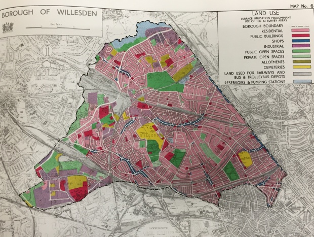
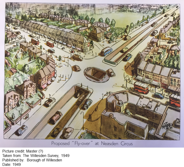
The many maps contained within the book are rendered as works of art and it includes a particularly beautiful visualisation of the proposed (but later superseded) scheme for the Neasden interchange on the North Circular. I’m sure this road junction has never been described as beautiful in real life, but such is the power and magic of the Willesden Survey.
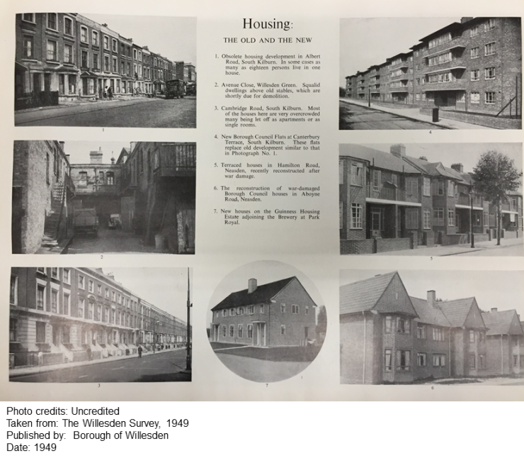
The Survey provides a comprehensive description of the problems that faced the borough. Like many inner London boroughs, it had, in the words of the Mayor, “due to negative planning…become over-populated and over-industrialised”. It was a compact and clearly demarcated borough, hemmed in by the railway to the south, the North Circular Road to west and north and the Edgware Road to the east.
One of the most touching aspects of the Survey is that it ended up as nothing more than a work-in-progress. Willesden Corporation, as it liked to style itself, had embarked on its post-War planning task with vigour, only to find the rug pulled from beneath its feet when responsibility for the whole endeavour was transferred to Middlesex County Council. A tangible sense of disappointment pervades the author’s introduction.
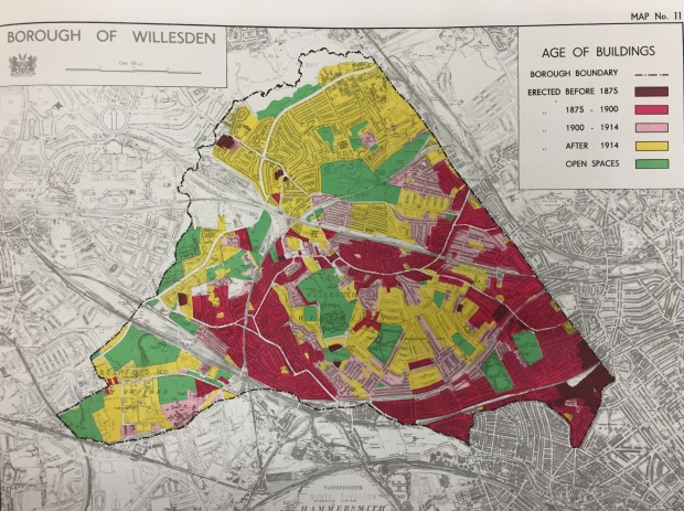
Nevertheless, the efforts of the Corporation remained unique. In the bibliography to Middlesex’s own Development Plan: Report of the Survey of 1951, many reference sources are listed. But the Willesden Survey is the only major contribution from a local authority that is cited in that list.
In 1965, working class, Labour voting Willesden was united with middle class Conservative Wembley, to create a new London Borough which, as Tony Travers (1) wryly notes, was to be named after the very thing that divided the two boroughs – the river Brent. However, its memory lives on in an evocative record of a key point in its history.
Notes
(1) Tony Travers, London’s Boroughs at 50, Biteback Publishing 2015

